
The price of a building plot in France depends on a combination of technical, regulatory and geographical factors. According to the SDES survey of building permits issued in 2024, the average price is €102 per square metre, for an average plot size of 932 m². These averages conceal considerable variations: a plot in a densely populated urban area can be worth several hundred euros per square metre, while a rural plot may cost less than €50.
Building rights and the PLU: how zoning affects land prices
The first factor that determines a plot’s value is its classification under the local urban planning scheme (PLU). A plot in a U zone (urbanised) can be built on, giving it a significantly higher land value than a plot classified as A (agricultural) or N (natural).
The PLU does more than simply give the green or red light. It also sets the site coverage ratio, the maximum height of buildings and the required setbacks from property boundaries. Two neighbouring plots in the same U zone may have different building rights if one lies in an area subject to specific architectural requirements.
One detail that listings do not always mention: a plot classified as buildable may be rezoned when the PLU is revised. Zoning is not set in stone. Checking when the planning document was last amended helps assess how stable the classification is. Consulting the PLU also reveals public utility easements (such as utility corridors or historic monument protection zones) that restrict what can actually be built.
When comparing plots, the price of a plot of land therefore depends first and foremost on what the planning regulations actually allow you to build there—not simply on whether it is labelled “buildable”.
Servicing a plot: hidden costs that affect its true price
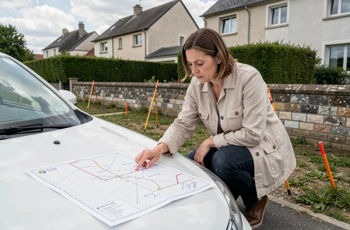
A serviced plot is already connected to the drinking water, electricity and sewerage networks, and sometimes to gas and telecommunications as well. An unserviced plot has a lower purchase price, but connection work adds extra costs that can run to several thousand euros, depending on the distance to existing networks.
The DVF database does not specify whether a plot sold is serviced. Comparing two transactions in the same municipality without this information can lead to a misleading analysis. A price difference between two similar plots is often due to their servicing status rather than their location.
Before assessing the true cost of an unserviced plot, check:
- The distance between the plot and the connection point to the public water and electricity networks, which determines how much trenching needs to be funded
- The type of wastewater system required: connection to the public sewer or installation of an individual system, the cost of which varies depending on the soil
- Whether there is vehicle access from the public road, as in some cases the buyer is responsible for creating an access road
Soil conditions and geotechnical surveys: an underestimated price factor
Since the ELAN law came into force, a G1 soil survey has been mandatory when selling building plots in areas with medium or high exposure to clay shrink-swell risk. This requirement applies to a significant part of France.
A plot’s classification can change: regulatory maps showing clay shrink-swell risk are updated periodically. A plot that was not affected a few years ago may be reclassified as being in an area of medium exposure following a map update. Its classification should therefore be checked when planning a project, rather than taken from an old listing.
Clay soil, a sloping site or a shallow water table may require reinforced foundations. The resulting additional construction costs naturally affect the plot’s value. A flat plot with load-bearing soil sells for more than a sloping plot on clay, even when the two are similar in size and location.

Plot size, shape and price per square metre
A plot’s area affects its total price, but the relationship is not linear. The price per square metre tends to fall as the plot gets larger. A 400 m² plot in a peri-urban area will have a higher price per square metre than a 1,500 m² plot in the same area.
The shape of a plot matters just as much as its area. A rectangular or square plot offers more usable building space than a flag-shaped plot (accessed by a narrow lane leading to a set-back plot). Irregular or very elongated plots make it harder to position a building and reduce the area that can actually be used.
The SDES survey also shows that the average size of purchased plots is shrinking year after year, while the price per square metre is rising. Buyers are accepting smaller plots to stay within budget, driving up unit prices in high-demand areas.
Local land pressure: why neighbouring municipalities have different prices
Beyond a plot’s own characteristics, the local market has a major influence on its price. Proximity to employment hubs, public transport links, the quality of local schools and the range of shops all generate demand and push prices up.
Price differences can be striking even just a few kilometres apart. Land in a municipality with a TER regional train station and a fast connection to a major city is worth considerably more than land in a neighbouring municipality without rail service. The same applies to coastal municipalities and those near attractive natural sites.
The DVF database (land value requests) lets you view actual transactions by municipality, but it does not provide information about servicing or soil constraints. Combining this public data with a careful review of the PLU and a geotechnical survey remains the most reliable way to estimate a plot’s true value before starting any construction project.